Sustainability and Resilience Plan for Norwalk, CT
The Redevelopment Agency for the City of Norwalk (City) is working with a consultant to develop a Sustainability and Resilience Plan that will serve as a roadmap for the City to implement a clearly defined and equitable set of sustainability goals as outlined within the City's Plan of Conservation and Development.
The Community Resilience Building Workshop Summary of Findings
One of the major first steps towards creating this Sustainability and Resilience Plan was the Community Resilience Building (CRB) Workshop held in May 2022.
In early 2022, the Redevelopment Agency began a series of discussions with The Nature Conservancy about conducting a Climate Resilience Building (CRB) workshop to engage with community members and define strengths and vulnerabilities within the City of Norwalk. This workshop was facilitated by The Nature Conservancy, Western Connecticut Council of Governments, and the Norwalk Redevelopment Agency in partnership with Sustainable CT.
The leading objectives of this workshop included:
- Defining top local, natural, and climate-related hazards of concern
- Identifying existing and future strengths and vulnerabilities
- Prioritizing actions for the City
- Identifying opportunities to collaboratively advance actions to increase resilience alongside residents and organizations from across the City, and beyond
The City of Norwalk benefited from a unique “anywhere at any scale”, community-driven process called Community Resilience Building (CRB) (www.CommunityResilienceBuilding.org). The CRB’s tools, other relevant planning documents, and local maps were integrated into the workshop process to provide both decision-support and visualization around shared issues and existing priorities across Norwalk...Using the CRB process, rich with information, experience, and dialogue, the participants produced the findings presented in this summary report including an overview of the top hazards, current concerns and challenges, existing strengths, and proposed actions to improve resilience to hazards and climate change, today and in the future.
The publication draft of the CRB Workshop Summary of Findings was published in September 2022 and is available for review by clicking the link below.
The Community Resilience Building Workshop Summary of Findings Norwalk, CT Merges Separate Planning & Zoning Commissions
 The City of Norwalk is making improvements for the future by merging the city’s separate Zoning and Planning Commissions. It’s an opportunity to streamline decision making and provide better coordination between long-term planning and the codes enacted to realize the vision of the plans.
Keep reading to learn more about the merging of Norwalk’s Planning & Zoning Commission.
The City of Norwalk is making improvements for the future by merging the city’s separate Zoning and Planning Commissions. It’s an opportunity to streamline decision making and provide better coordination between long-term planning and the codes enacted to realize the vision of the plans.
Keep reading to learn more about the merging of Norwalk’s Planning & Zoning Commission.
Recent CT State Land Use Planning Changes
A lot happened during the last year related to Land Use Planning in the State of CT. The Connecticut General Assembly presented more critical land use and statewide zoning proposals than they have in decades.
The bills that obtained approval from the House, Senate, and Governor’s office were scaled-back versions of these proposals. Still, they received much media attention, and for a good reason. They were important rulings that will affect our city.
Why the Change in Norwalk?
Some Connecticut towns have already combined their Planning and Zoning commissions. The new structure of Norwalk’s Planning & Zoning Commission supports an efficient and collaborative working relationship.
For instance, New Haven’s Planning commission has also combined the duties and responsibilities of P&Z. However, areas like Danbury and Stamford continue to run separate city Planning and Zoning commissions.
For some time, the City of Norwalk had also run separate Planning and Zoning commissions. The general agreement was that the separation resulted in a disconnect between planning, land use policy, and city zoning and created additional work for applicants to both commissions.
Benefits of the Planning & Zoning Commission Merger
Historically, a third or more of the Planning Commission’s workflow came from the Zoning Commission. This process often added one to two months to the approval process, hindering development in the city. Now, applicants will save considerable time and costs without the need to present requests to both commissions.
The union of the planning and zoning commissions also creates a more consistent planning relationship. It gives the Commission increased jurisdiction. That broadened authority enables them to support consistency with citywide planning.
What to Expect from Norwalk’s Unified P&Z Commission
In the past, the Planning Commission and Zoning Commission successfully executed their distinct functions. Together, P&Z can coordinate to promote greater efficiency and growth for the Norwalk economy. New members of the merged P&Z group have been selected.
Currently, the City is rewriting its zoning regulations, which is set to be completed later this year.. Other land use efforts underway in Norwalk, CT are a reassessment of its industrial zones and developing a plan for its urban waterfront areas.
You can stay updated on Norwalk Planning and Zoning Department news by visiting the official website.
The City of Norwalk welcomes your questions and feedback. Please feel free to contact us with your inquiries.Norwalk, CT Holds Charrette on Revising Its Building Zone Regulations
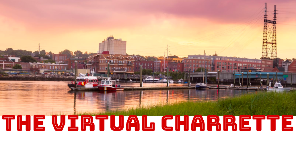 This fall, the City of Norwalk held a charrette focused on rewriting and modernizing its building zone regulations which lasted over the course of five days. A charrette is a collaborative planning process that involves all stakeholders and this one was open virtually to the public.
Norwalk embarked on a building zone regulation update following its ten-year Citywide Plan in 2019. One of the Plan’s recommendations was to take a fresh look at the city’s zoning regulations, which have not been thoroughly reviewed nor revised in 30 years. The charrette was part of a greater public outreach process to educate local citizens on the zoning code and get their input and feedback on what works and what needs to be changed.
How the Virtual Charrette Worked
During the charrette, the community learned about the city’s current zoning regulations. In a series of online focus meetings, stakeholders shared their hopes and concerns about how the new regulations may affect things such as transportation, architecture and design, community character, land use, development, neighborhoods, housing, green infrastructure, sustainability, and most desirably its waterfront charm.
For those who couldn’t make it to one of the meetings, an online virtual open studio was available for much of the day where people could join and ask questions, or share their thoughts on zoning.
Another way the city was able to get input from the public during the charrette was through a virtual mapping workshop. Using an online tool, people were able to access a map of the city and add markers to indicate what they liked about the character of Norwalk and their thoughts on opportunities for improvement.
Findings from the Charrette
As mentioned in a report from The Norwalk Hour, “if one word was said more often than any other word this week, it was character. We heard from people wanting to maintain the marine character. Views of the water are important.”
On the final evening of the virtual charrette, the planning team presented their findings and discussed how the community input is shaping the new Building Zone Regulations in several areas. Here are some of their findings.
Housing
During the charrette, people asked for a greater variety of housing types in more locations. Allowing for multifamily and accessory dwelling units that fit into the character of single family neighborhoods. Part of this is an expressed need and desire for more affordable workforce housing.
Sustainability and the Environment
Important to charrette attendees is the maintenance of the maritime character of the city, and the need to preserve water views. The protection of natural resources and the coastline is also a public concern.
Attendees talked frequently about the need for green infrastructure such as permeable pavement, accessibility for bicycling and pedestrians, solar power, green roofs, and sustainable stormwater solutions.
Industry and the Economy
While open, green space and preserving the character of neighborhoods were important to charrette attendees, there was discussion about protecting some industrial zones. There was a call to look at other locations for these zones than where they are currently.
The biggest concern with industrial zones was the need to address the contractor yards in these neighborhoods and adjacent to homes. There is a Norwalk Industrial Zones Study underway which is taking a look at these issues.
Also of importance for attendees was protecting water dependent commercial uses while still allowing for public access to the water. Currently, the city is working on an Industrial Waterfront Land Use Plan to guide decisions on the best uses of Norwalk’s waterfront resources.
Overall, the public wanted to retain, grow, and attract a wide range of businesses, allowing for various commercial building types that are more compatible in more areas.
Mobility and Transportation
Managing all modes of transportation was a critical concern for attendees, especially making land use decisions that support and improve walking, biking, and public transit.
Parking was brought up as having an impact on the character, walkability and desirability of the community. There were presentations on shifting parking lots to be hidden and interspersed among businesses as attendees expressed an interest in a review of parking standards.
Next Steps in the Zoning Regulations Update
The zoning regulations planning team is taking all the feedback from the charrette and drafting new regulations. The intention is to simplify what is now a complicated document, and consolidate some of the zoning districts.
The overall policy will be to take a character-based approach to zoning. This means grouping zones together that are similar, and creating character districts where certain building types are appropriate for each district, while taking into consideration policies such as open space and commercial uses, etc.
Residents, businesses and others in the community will have the opportunity to review and provide feedback to the draft, continuing the important public input to ensure the new regulations take into account all who live and work in Norwalk.
To see videos from the Charrette Presentations CLICK HERE Planning Cities With People-oriented Design
 We’ve written about what makes cities livable and what people are looking for in a city. There are various urban planning approaches that put and keep people at the forefront. Designing a city so it is people oriented brings in two subjects we’ve covered, transit-oriented development (TOD) and designing public spaces to make them more bikeable, walkable and encourage community (also known as placemaking). Below we take a closer look at some of the factors that make up people-oriented urban design.
The Problem with Car-Centric Cities
Many cities have been designed or have grown organically to be “car-centric”, meaning they are centered around automobile uses and connectivity. Examples of this can include, large urban blocks, unsafe conditions for bicycling and walking, an emphasis on building roads and highways to make it easier to get into the city, little access or connection to or between public transportation, and few public spaces. Primarily promoting the use of cars can make a city less liveable, adding to traffic congestion, and air pollution - among other problems.
Transit-oriented Development
Transit-oriented development is a type of urban planning that creates compact, pedestrian-oriented, mixed-use (commercial and residential) communities within walking distance of high quality public transit systems. This kind of development incorporates living, working, retail and recreational spaces close together, and in close proximity to transportation systems. It is intrinsically built around the needs of people and neighborhoods. TOD fosters many benefits including increased economic activity, job opportunities, walkability and a sense of community.
Public Transportation
A key component of TOD is good, accessible public transportation that is centered around the needs of residents and visitors. Making trips into and between city neighborhoods easy and making high quality modes of transportation efficient, should be key goals of a city. Ensuring that there are easy connections between various methods of public transportation, making clear up-to-date route information available, and providing dedicated lanes on city streets for public transportation can make public transportation more accessible for City residents and visitors.
Policies to Encourage Less Car Usage
In addition to making it easier and more compelling to take public transportation, cities can reduce the use of cars with a few strategies, as well. One method is congestion pricing, which is charging vehicles a fee for going into specific areas at certain times of the day. Parking restrictions can also be put into place. In terms of design, cities can narrow lanes, add bike lanes as well as add bike-share docking stations, put in more pedestrian crossings, temporarily replace parking spaces with parklets, and even set up car free zones. These strategies don’t take cars away from the equation entirely, but they prioritize people over cars.
Designing Walkable, Bikeable Neighborhoods
We already mentioned some of the ways to make a city more walkable and bikeable such as car-free or car-reduced streets. Other ways to encourage pedestrians can be implemented via sidewalk design strategies. Making sidewalks wider, with no obstructions, makes them easier to walk on and can encourage their use as public spaces. Clear, wide sidewalks can be used for commercial activity, recreational uses, or public art. A city can better accommodate bikers with designated bike lanes that are separated from other vehicle street traffic and parked cars, as well as convenient and secure bike racks in public spaces.
Public Space Management
Public spaces are important to making a city people-friendly. Ensuring residents and visitors access to open public spaces to rest, exercise and congregate is essential for densely populated neighborhoods. The benefits are many, including both physical and mental health, along with fostering a sense of community. ocia Public spaces can be used for people to meet, play, and socialize!
People-oriented city design is all about putting people and communities first, ahead of vehicles, streets, and other city infrastructure. In short, improving overall quality of life. By encouraging and supporting mixed use building, investing in quality public transportation options, making cities more walkable and bikeable, and providing inviting public spaces, cities can improve the quality of life for residents and visitors alike.